
Beidha topographic map
Interactive map
Click on the map to display elevation.
About this map
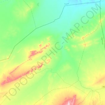
Name: Beidha topographic map, elevation, terrain.
Location: Beidha, Gueltet Sidi Saâd District, Laghouat, 03013, Algeria (34.35805 1.94760 34.69516 2.36843)
Average elevation: 1,038 m
Minimum elevation: 889 m
Maximum elevation: 1,419 m