
b12 topographic map
Interactive map
Click on the map to display elevation.
About this map
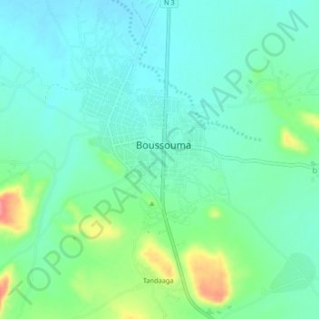
Name: b12 topographic map, elevation, terrain.
Location: b12, Sanmatenga, Central-North, Burkina Faso (12.88788 -1.09876 12.92788 -1.05876)
Average elevation: 327 m
Minimum elevation: 306 m
Maximum elevation: 385 m