
Yanco topographic map
Interactive map
Click on the map to display elevation.
About this map
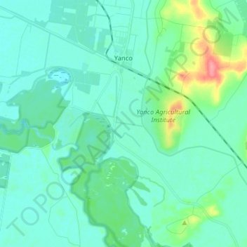
Name: Yanco topographic map, elevation, terrain.
Average elevation: 146 m
Minimum elevation: 133 m
Maximum elevation: 206 m
Other topographic maps
Click on a map to view its topography, its elevation and its terrain.
Cudgel Creek
Australia > New South Wales > Yanco
Cudgel Creek, Yanco, Leeton Shire Council, New South Wales, 2703, Australia
Average elevation: 145 m