
Candèze topographic map
Interactive map
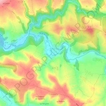
Click on the map to display elevation.
About this map
Name: Candèze topographic map, elevation, terrain.
Average elevation: 272 m
Minimum elevation: 195 m
Maximum elevation: 352 m
Other topographic maps
Click on a map to view its topography, its elevation and its terrain.
Place du Foirail
France > Occitanie > Tarn > Monestiés
Place du Foirail, Le Barry, Candèze, Monestiés, Albi, Tarn, Occitanie, France métropolitaine, 81640, France
Average elevation: 265 m