
Barari topographic map
Interactive map
Click on the map to display elevation.
About this map
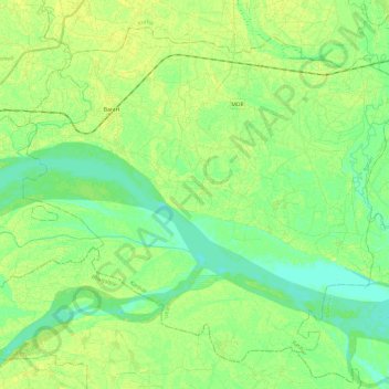
Name: Barari topographic map, elevation, terrain.
Location: Barari, Katihar, Bihar, India (25.35981 87.32208 25.54689 87.56262)
Average elevation: 30 m
Minimum elevation: 22 m
Maximum elevation: 37 m
Other topographic maps
Click on a map to view its topography, its elevation and its terrain.
Gaya
India > Bihar > Gaya Town C.D.Block
Gaya, Gaya Town C.D.Block, Gaya, Bihar, 823001, India
Average elevation: 111 m
Bagmati River
Bagmati River, Sītāmarhi, Sitamarhi, Bihar, 843321, India
Average elevation: 422 m