
Clandeboye topographic map
Interactive map
Click on the map to display elevation.
About this map
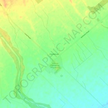
Name: Clandeboye topographic map, elevation, terrain.
Location: Clandeboye, Timaru District, Canterbury, New Zealand (-44.22730 171.36163 -44.18730 171.40163)
Average elevation: 21 m
Minimum elevation: 5 m
Maximum elevation: 39 m