Geolocate

Carrascal topographic map

Click on the map to display elevation.

About this map

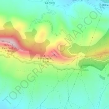
Name: Carrascal topographic map, elevation, terrain.

Location: Carrascal, Oña, Burgos, Castile and León, Spain (42.69058 -3.27516 42.69068 -3.27506)

Average elevation: 901 m

Minimum elevation: 752 m

Maximum elevation: 1,193 m

Gear up for your next adventure:

🥤Collapsible Water Bottles - Save space in your rucksack as you consume your water
🍱Food Containers - Reusable containers for outdoor meals
🥾Hiking Boot Waterproofing Wax - Maintain the lifespan of your leather trekking boots
🎿Telescopic Trekking Poles - Reduces knee strain on steep topographic descents
🌄Outdoor Binoculars - Compact binoculars for landscape observation

As an Amazon Associate, this site earns from qualifying purchases at no extra cost to you.