
Liberta topographic map
Interactive map
Click on the map to display elevation.
About this map
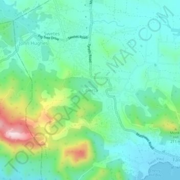
Name: Liberta topographic map, elevation, terrain.
Location: Liberta, Saint Paul, Antigua, Antigua and Barbuda (17.01876 -61.81511 17.05876 -61.77511)
Average elevation: 92 m
Minimum elevation: 0 m
Maximum elevation: 363 m