
Forest Fields topographic map
Interactive map
Click on the map to display elevation.
About this map
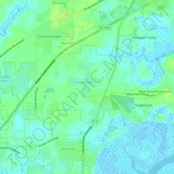
Name: Forest Fields topographic map, elevation, terrain.
Location: Forest Fields, Beaufort County, South Carolina, 29906, VS (32.38936 -80.75872 32.42936 -80.71872)
Average elevation: 5 m
Minimum elevation: -4 m
Maximum elevation: 13 m