
Rodeo topographic map
Interactive map
Click on the map to display elevation.
About this map
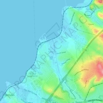
Name: Rodeo topographic map, elevation, terrain.
Location: Rodeo, Contra Costa County, California, 94572, USA (38.01398 -122.28767 38.05398 -122.24767)
Average elevation: 20 m
Minimum elevation: -2 m
Maximum elevation: 119 m