
Kwedibago topographic map
Interactive map
Click on the map to display elevation.
About this map
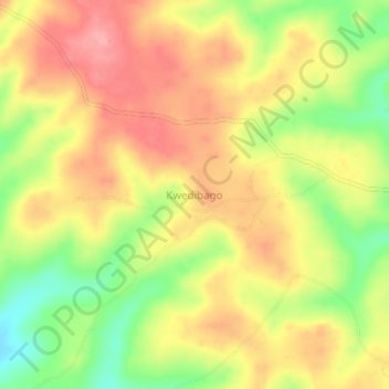
Name: Kwedibago topographic map, elevation, terrain.
Location: Kwedibago, Handeni, Tanga Region, Northern Zone, Tanzania (-5.52210 38.42092 -5.48210 38.46092)
Average elevation: 409 m
Minimum elevation: 346 m
Maximum elevation: 456 m
Other topographic maps
Click on a map to view its topography, its elevation and its terrain.