
Cardenete topographic map
Interactive map
Click on the map to display elevation.
About this map
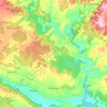
Name: Cardenete topographic map, elevation, terrain.
Location: Cardenete, Cuenca, Castile-La Mancha, 16373, Spain (39.74807 -1.79142 39.87117 -1.61689)
Average elevation: 987 m
Minimum elevation: 805 m
Maximum elevation: 1,284 m
Other topographic maps
Click on a map to view its topography, its elevation and its terrain.