
Mwogo topographic map
Interactive map
Click on the map to display elevation.
About this map
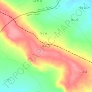
Name: Mwogo topographic map, elevation, terrain.
Location: Mwogo, Amuria, Eastern Region, Uganda (2.08000 33.36333 2.12000 33.40333)
Average elevation: 1,161 m
Minimum elevation: 1,110 m
Maximum elevation: 1,210 m