
阎庙村 topographic map
Interactive map
Click on the map to display elevation.
About this map
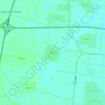
Name: 阎庙村 topographic map, elevation, terrain.
Location: 阎庙村, 德州市, 山东省, 中国 (36.98102 115.94812 37.02102 115.98812)
Average elevation: 29 m
Minimum elevation: 26 m
Maximum elevation: 32 m
Other topographic maps
Click on a map to view its topography, its elevation and its terrain.