
White topographic map
Interactive map
Click on the map to display elevation.
About this map
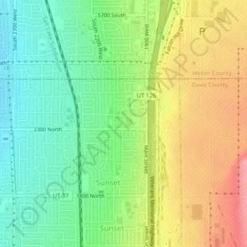
Name: White topographic map, elevation, terrain.
Location: White, Sunset, Davis County, Utah, 84015, United States (41.13773 -112.03933 41.15773 -112.01933)
Average elevation: 1,382 m
Minimum elevation: 1,336 m
Maximum elevation: 1,442 m