
Boerenstreek topographic map
Interactive map
Click on the map to display elevation.
About this map
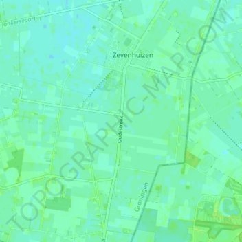
Name: Boerenstreek topographic map, elevation, terrain.
Location: Boerenstreek, Groningen, Niederlande, 9354, Niederlande (53.09442 6.32602 53.13442 6.36602)
Average elevation: 5 m
Minimum elevation: 1 m
Maximum elevation: 10 m