
Ifrene topographic map
Interactive map
Click on the map to display elevation.
About this map
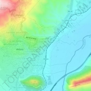
Name: Ifrene topographic map, elevation, terrain.
Location: Ifrene, Akbou District, Bejaia, 06000, Algeria (36.44140 4.52307 36.48140 4.56307)
Average elevation: 257 m
Minimum elevation: 146 m
Maximum elevation: 628 m