
Carrizal topographic map
Interactive map
Click on the map to display elevation.
About this map
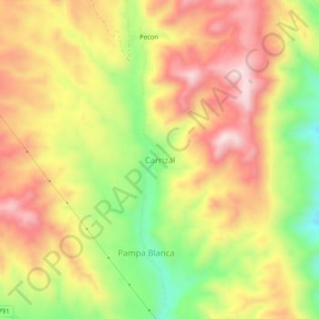
Name: Carrizal topographic map, elevation, terrain.
Location: Carrizal, General Sánchez Cerro, Moquegua, Perú (-16.79044 -71.26186 -16.75044 -71.22186)
Average elevation: 2,572 m
Minimum elevation: 2,346 m
Maximum elevation: 2,759 m