
Manar topographic map
Interactive map
Click on the map to display elevation.
About this map
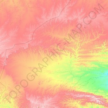
Name: Manar topographic map, elevation, terrain.
Location: Manar, Gouvernorat de Mahra, Yémen (15.98293 50.16743 17.14735 51.80740)
Average elevation: 735 m
Minimum elevation: 141 m
Maximum elevation: 1,318 m
Other topographic maps
Click on a map to view its topography, its elevation and its terrain.
Ais
Yémen > Gouvernorat de Mahra > Ais
Ais, مديرية المسيلة, Gouvernorat de Mahra, Yémen
Average elevation: 50 m