
Farashband topographic map
Interactive map
Click on the map to display elevation.
About this map
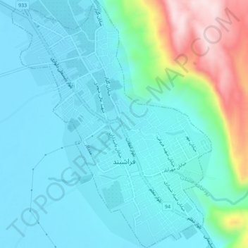
Name: Farashband topographic map, elevation, terrain.
Location: Farashband, بخش مرکزی, Farashband County, Fars Province, Iran (28.84229 52.07522 28.87976 52.10970)
Average elevation: 858 m
Minimum elevation: 775 m
Maximum elevation: 1,202 m
Other topographic maps
Click on a map to view its topography, its elevation and its terrain.