
Puerto Guzmán topographic map
Interactive map
Click on the map to display elevation.
About this map
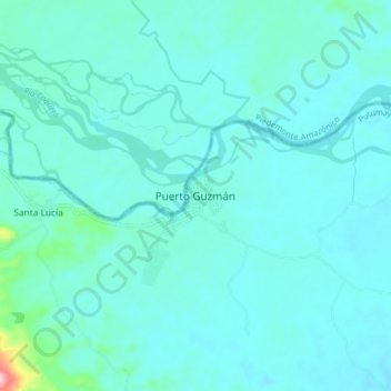
Name: Puerto Guzmán topographic map, elevation, terrain.
Location: Puerto Guzmán, Putumayo, Colombia (0.92490 -76.44783 1.00490 -76.36783)
Average elevation: 272 m
Minimum elevation: 252 m
Maximum elevation: 440 m