
灌口镇 topographic map
Interactive map
Click on the map to display elevation.
About this map
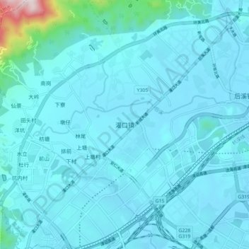
Name: 灌口镇 topographic map, elevation, terrain.
Location: 灌口镇, 集美区, 厦门市, 福建省, 中国 (24.58322 117.95402 24.66322 118.03402)
Average elevation: 59 m
Minimum elevation: 1 m
Maximum elevation: 804 m
Other topographic maps
Click on a map to view its topography, its elevation and its terrain.