
Virudhunagar topographic map
Interactive map
Click on the map to display elevation.
About this map
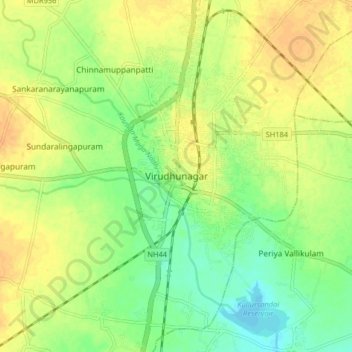
Name: Virudhunagar topographic map, elevation, terrain.
Location: Virudhunagar, Virudhunagar district, Tamil Nadu, 626001, India (9.54224 77.91368 9.62224 77.99368)
Average elevation: 101 m
Minimum elevation: 84 m
Maximum elevation: 114 m