Geolocate

Alor Pongsu topographic map

Click on the map to display elevation.

About this map
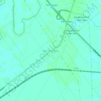
Name: Alor Pongsu topographic map, elevation, terrain.

Location: Alor Pongsu, Beriah, Kerian, Perak, Malaysia (5.03248 100.56867 5.07248 100.60867)

Average elevation: 3 m

Minimum elevation: -1 m

Maximum elevation: 6 m

Gear up for your next adventure:

🎒Backpack Rain Covers - Universal waterproof covers to protect your gear from downpours
🕶️Glacier Goggles - Maximum protection for high-altitude snow topography
🗺️Ordnance Survey Maps - Official UK maps for walking and outdoor activities
👖Hiking Trousers - Durable trousers designed for rough terrain
💧Hydration Reservoirs - Convenient water bladders for hands-free drinking on the move

As an Amazon Associate, this site earns from qualifying purchases at no extra cost to you.