
Weiser topographic map
Interactive map
Click on the map to display elevation.
About this map
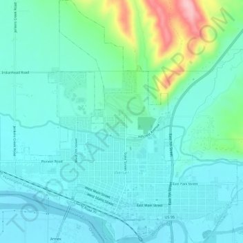
Name: Weiser topographic map, elevation, terrain.
Location: Weiser, Washington County, Idaho, United States (44.23948 -116.99363 44.27911 -116.94300)
Average elevation: 673 m
Minimum elevation: 636 m
Maximum elevation: 826 m
Weiser is located at 44°14′59″N 116°58′4″W / 44.24972°N 116.96778°W / 44.24972; -116.96778 (44.249712, -116.967799), at an elevation of 2,129 feet (649 m) above sea level.