
Orrville topographic map
Interactive map
Click on the map to display elevation.
About this map
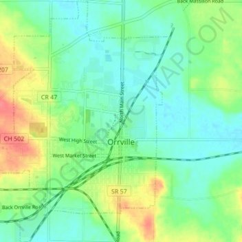
Name: Orrville topographic map, elevation, terrain.
Location: Orrville, Wayne County, Ohio, 44667, United States (40.82223 -81.80389 40.87381 -81.74937)
Average elevation: 323 m
Minimum elevation: 303 m
Maximum elevation: 365 m
Other topographic maps
Click on a map to view its topography, its elevation and its terrain.