
Al Masira topographic map
Interactive map
Click on the map to display elevation.
About this map
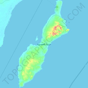
Name: Al Masira topographic map, elevation, terrain.
Location: Al Masira, Ash Sharqiyah South Governorate, Oman (20.16172 58.62361 20.69678 58.96278)
Average elevation: 7 m
Minimum elevation: -1 m
Maximum elevation: 250 m
Other topographic maps
Click on a map to view its topography, its elevation and its terrain.