Geolocate

City of Frankenmuth topographic map

Interactive map

Click on the map to display elevation.

About this map

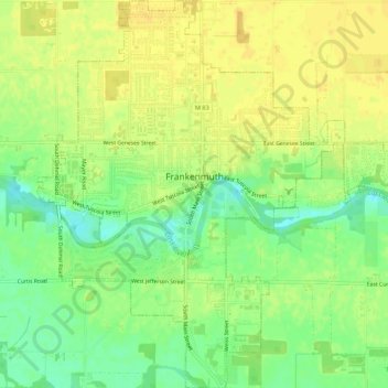
Name: City of Frankenmuth topographic map, elevation, terrain.

Location: City of Frankenmuth, Saginaw County, Michigan, United States (43.31072 -83.76135 43.35034 -83.70930)

Average elevation: 195 m

Minimum elevation: 180 m

Maximum elevation: 204 m

Other topographic maps

Click on a map to view its topography, its elevation and its terrain.

Saginaw Charter Township

United States > Michigan > Saginaw County

Saginaw Charter Township, Saginaw County, Michigan, United States

Average elevation: 186 m

Frankenmuth Township

United States > Michigan > Saginaw County

Frankenmuth Township, Saginaw County, Michigan, United States

Average elevation: 193 m

City of Saginaw

United States > Michigan > Saginaw County

City of Saginaw, Saginaw County, Michigan, United States

Average elevation: 185 m