
Pacho topographic map
Interactive map
Click on the map to display elevation.
About this map
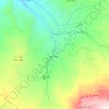
Name: Pacho topographic map, elevation, terrain.
Location: Pacho, Colombia (5.09197 -74.19804 5.17197 -74.11804)
Average elevation: 2,038 m
Minimum elevation: 1,421 m
Maximum elevation: 3,204 m