
El Toro topographic map
Interactive map
Click on the map to display elevation.
About this map
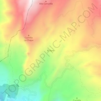
Name: El Toro topographic map, elevation, terrain.
Location: El Toro, Buenavista, Occidente, Boyacá, 155067, Colombia (5.48528 -74.00296 5.52528 -73.96296)
Average elevation: 1,742 m
Minimum elevation: 1,185 m
Maximum elevation: 2,258 m