
Simití topographic map
Interactive map
Click on the map to display elevation.
About this map
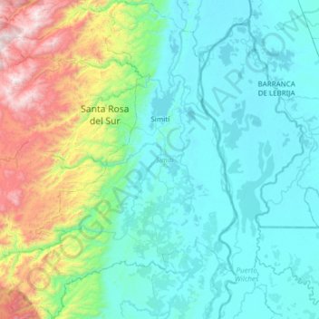
Name: Simití topographic map, elevation, terrain.
Location: Simití, Magdalena Medio, Bolívar, RAP Caribe, Colombia (7.57504 -74.23484 8.17898 -73.79890)
Average elevation: 348 m
Minimum elevation: 32 m
Maximum elevation: 1,745 m
Other topographic maps
Click on a map to view its topography, its elevation and its terrain.