
Bosa topographic map
Interactive map
Click on the map to display elevation.
About this map
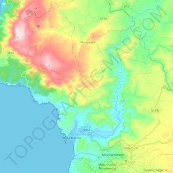
Name: Bosa topographic map, elevation, terrain.
Location: Bosa, Provincia de Oristán, Cerdeña, 08013, Italia (40.26171 8.37655 40.40781 8.57597)
Average elevation: 239 m
Minimum elevation: 0 m
Maximum elevation: 796 m