
Beyla topographic map
Interactive map
Click on the map to display elevation.
About this map
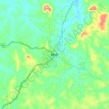
Name: Beyla topographic map, elevation, terrain.
Location: Beyla, Beyla Prefecture, Nzérékoré Region, Guinea (8.64985 -8.68835 8.72985 -8.60835)
Average elevation: 689 m
Minimum elevation: 642 m
Maximum elevation: 806 m
Other topographic maps
Click on a map to view its topography, its elevation and its terrain.