
O'Kean topographic map
Interactive map
Click on the map to display elevation.
About this map
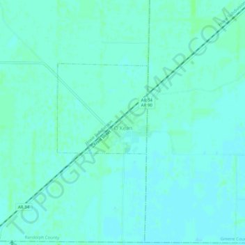
Name: O'Kean topographic map, elevation, terrain.
Location: O'Kean, Randolph County, Arkansas, 72449, USA (36.14923 -90.83428 36.18923 -90.79428)
Average elevation: 82 m
Minimum elevation: 79 m
Maximum elevation: 85 m