
Sungai Balang topographic map
Interactive map
Click on the map to display elevation.
About this map
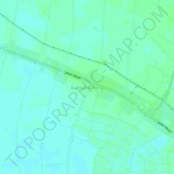
Name: Sungai Balang topographic map, elevation, terrain.
Location: Sungai Balang, Johor, 83610, Malaysia (1.88225 102.72741 1.92225 102.76741)
Average elevation: 4 m
Minimum elevation: 1 m
Maximum elevation: 7 m