
Nagar topographic map
Interactive map
Click on the map to display elevation.
About this map
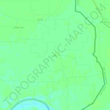
Name: Nagar topographic map, elevation, terrain.
Location: Nagar, Kasur Tehsil, Kasur District, Punjab, Pakistan (31.08226 74.66128 31.12226 74.70128)
Average elevation: 201 m
Minimum elevation: 195 m
Maximum elevation: 204 m