
Stępocin topographic map
Interactive map
Click on the map to display elevation.
About this map
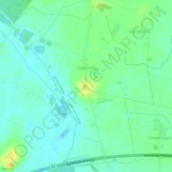
Name: Stępocin topographic map, elevation, terrain.
Average elevation: 109 m
Minimum elevation: 101 m
Maximum elevation: 125 m
Other topographic maps
Click on a map to view its topography, its elevation and its terrain.
Nadarzyce
Poland > Greater Poland Voivodeship > Września County
Nadarzyce, gmina Września, Września County, Greater Poland Voivodeship, Poland
Average elevation: 102 m