
Karoun topographic map
Interactive map
Click on the map to display elevation.
About this map
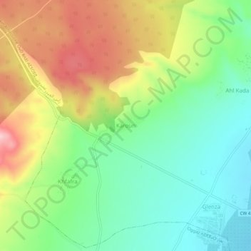
Name: Karoun topographic map, elevation, terrain.
Location: Karoun, Ras Ain Amirouche, Oggaz District, Mascara, Algeria (35.59852 -0.29178 35.63852 -0.25178)
Average elevation: 127 m
Minimum elevation: 43 m
Maximum elevation: 252 m