
Santa Rosa topographic map
Interactive map
Click on the map to display elevation.
About this map
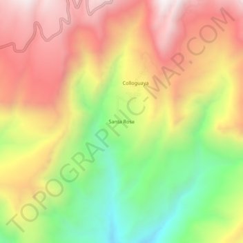
Name: Santa Rosa topographic map, elevation, terrain.
Location: Santa Rosa, Puquina, General Sánchez Cerro, Moquegua, Peru (-16.69051 -71.12184 -16.65051 -71.08184)
Average elevation: 2,845 m
Minimum elevation: 2,269 m
Maximum elevation: 3,364 m