
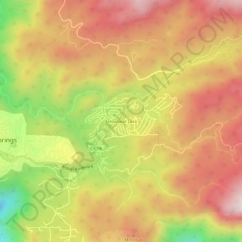
Arrowbear Lake topographic map
Interactive map
Click on the map to display elevation.
About this map
Name: Arrowbear Lake topographic map, elevation, terrain.
Average elevation: 1,928 m
Minimum elevation: 1,527 m
Maximum elevation: 2,214 m
Arrowbear Lake is an unincorporated community in San Bernardino County, California, United States. Its altitude is 6,086 feet (1,855 m), in the San Bernardino Mountains.[1]