
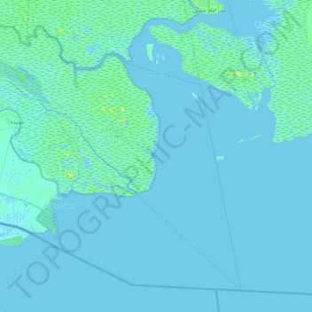
Bahmanshir-e Jonubi Rural District topographic map
Interactive map
Click on the map to display elevation.
About this map
Name: Bahmanshir-e Jonubi Rural District topographic map, elevation, terrain.
Average elevation: 1 m
Minimum elevation: -10 m
Maximum elevation: 18 m
Other topographic maps
Click on a map to view its topography, its elevation and its terrain.
Abadan
Iran > Khuzestan Province > Abadan County
Abadan, بخش مرکزی شهرستان آبادان, Abadan County, Khuzestan Province, Iran
Average elevation: 2 m