
Vose topographic map
Interactive map
Click on the map to display elevation.
About this map
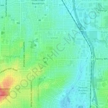
Name: Vose topographic map, elevation, terrain.
Location: Vose, Beaverton, Washington County, Oregon, United States (45.45800 -122.80579 45.48340 -122.78481)
Average elevation: 70 m
Minimum elevation: 50 m
Maximum elevation: 125 m
Other topographic maps
Click on a map to view its topography, its elevation and its terrain.
Denney Whitford/Raleigh West
United States > Oregon > Washington County > Beaverton
Denney Whitford/Raleigh West, Beaverton, Washington County, Oregon, United States
Average elevation: 72 m