
La Luz topographic map
Interactive map
Click on the map to display elevation.
About this map
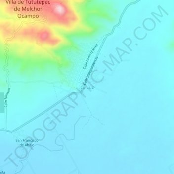
Name: La Luz topographic map, elevation, terrain.
Location: La Luz, Tututepec, Oaxaca, Mexico (16.09028 -97.61444 16.13028 -97.57444)
Average elevation: 74 m
Minimum elevation: 27 m
Maximum elevation: 341 m