
Bang Len topographic map
Interactive map
Click on the map to display elevation.
About this map
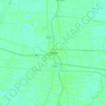
Name: Bang Len topographic map, elevation, terrain.
Location: Bang Len, Nakhon Pathom Province, 73130, Thailand (13.98463 100.13336 14.06463 100.21336)
Average elevation: 4 m
Minimum elevation: 0 m
Maximum elevation: 6 m
Other topographic maps
Click on a map to view its topography, its elevation and its terrain.
Nakhon Pathom
Thailand > Nakhon Pathom Province > ลำพยา
Nakhon Pathom, ลำพยา, Nakhon Pathom Province, 73000, Thailand
Average elevation: 6 m
Nong Lan
Thailand > Nakhon Pathom Province
Nong Lan, Nakhon Pathom Province, Thailand
Average elevation: 15 m
Ban Lat Pla Khao
Thailand > Nakhon Pathom Province > Ban Lat Pla Khao
Ban Lat Pla Khao, Nakhon Pathom Province, 73000, Thailand
Average elevation: 6 m