
Nieuwmoer topographic map
Interactive map
Click on the map to display elevation.
About this map
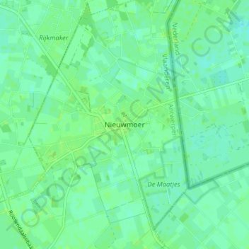
Name: Nieuwmoer topographic map, elevation, terrain.
Location: Nieuwmoer, Kalmthout, Antwerpen, Vlaanderen, 2920, België (51.41322 4.49886 51.45322 4.53886)
Average elevation: 14 m
Minimum elevation: 9 m
Maximum elevation: 18 m
Other topographic maps
Click on a map to view its topography, its elevation and its terrain.