
Unternäre topographic map
Interactive map
Click on the map to display elevation.
About this map
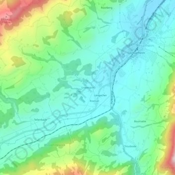
Name: Unternäre topographic map, elevation, terrain.
Location: Unternäre, Schüpfheim, Lucerna, 6170, Suiza (46.92209 7.97879 46.96209 8.01879)
Average elevation: 837 m
Minimum elevation: 702 m
Maximum elevation: 1,223 m