
Kongolo topographic map
Interactive map
Click on the map to display elevation.
About this map
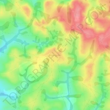
Name: Kongolo topographic map, elevation, terrain.
Location: Kongolo, Bétaré-Oya, Lom-et-Djérem, East, Cameroon (6.01088 13.94609 6.05088 13.98609)
Average elevation: 908 m
Minimum elevation: 862 m
Maximum elevation: 954 m