
Cinnamon Creek topographic map
Interactive map
Click on the map to display elevation.
About this map
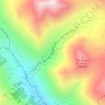
Name: Cinnamon Creek topographic map, elevation, terrain.
Location: Cinnamon Creek, San Juan County, Colorado, United States (37.92495 -107.56431 37.93698 -107.54814)
Average elevation: 3,707 m
Minimum elevation: 3,282 m
Maximum elevation: 4,179 m