
Peleș topographic map
Interactive map
Click on the map to display elevation.
About this map
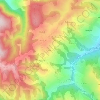
Name: Peleș topographic map, elevation, terrain.
Location: Peleș, Sohodol, Alba, 517726, Rumanía (46.31629 22.96326 46.35629 23.00326)
Average elevation: 844 m
Minimum elevation: 589 m
Maximum elevation: 1,075 m
Other topographic maps
Click on a map to view its topography, its elevation and its terrain.