
Combs topographic map
Click on the map to display elevation.
About this map
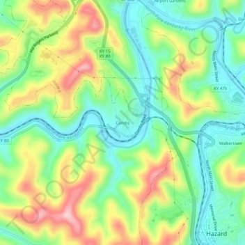
Name: Combs topographic map, elevation, terrain.
Location: Combs, Perry County, Kentucky, 41729, United States (37.24704 -83.23267 37.28704 -83.19267)
Average elevation: 338 m
Minimum elevation: 252 m
Maximum elevation: 474 m
Other topographic maps
Click on a map to view its topography, its elevation and its terrain.